Wuesthoff Park and the Rockledge riverfront: how the public got the bluff
Wuesthoff Park and Rockledge Park preserve public access to the Indian River along the coquina bluff. The land was donated by the Wuesthoff family and other private owners between the 1950s and 1970s, building the riverfront park system Rockledge has today.
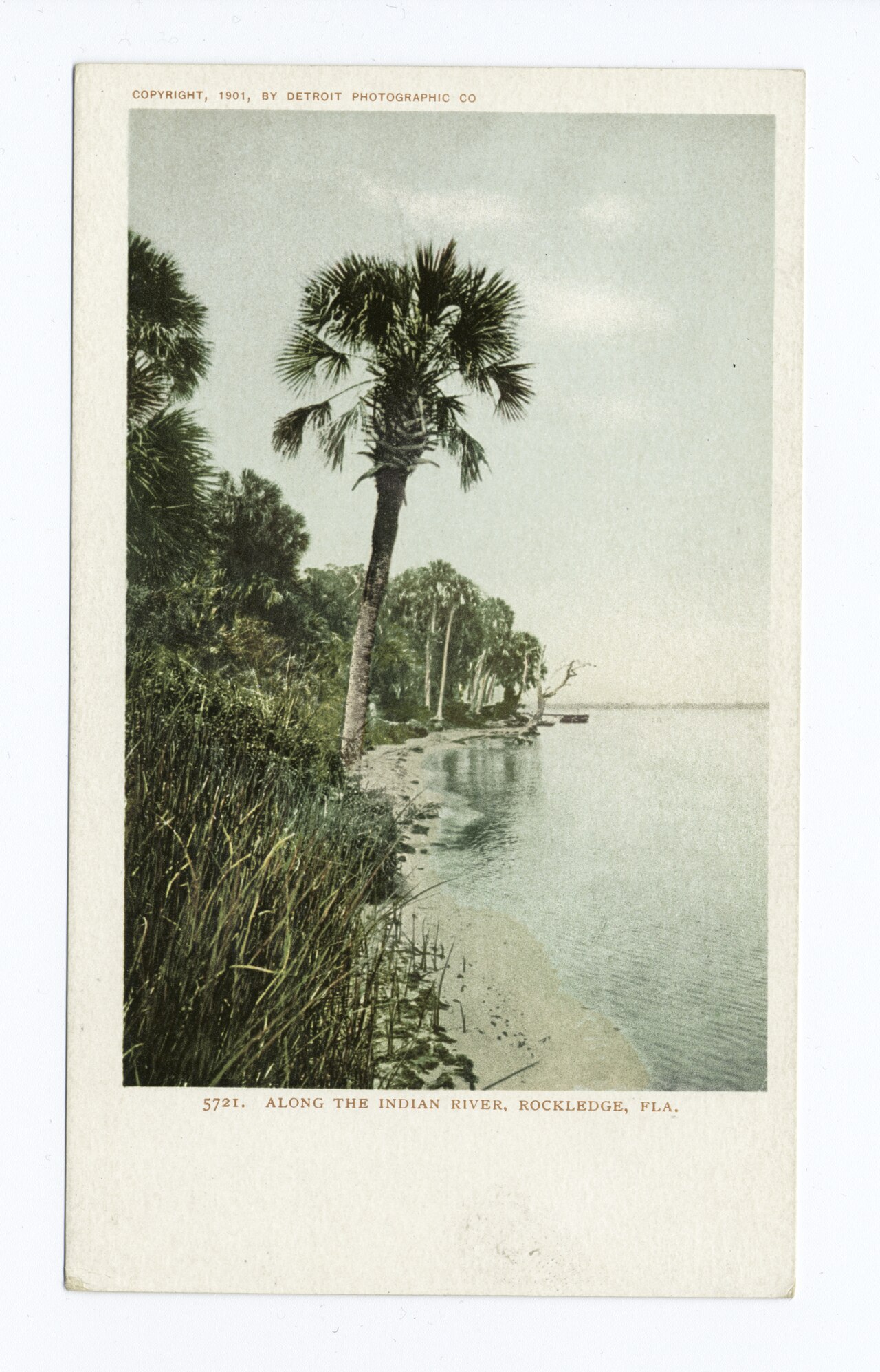
Rockledge has roughly half a mile of publicly accessible riverfront along the Indian River, distributed across Wuesthoff Park, Rockledge Park, and a few smaller pocket parks and rights-of-way. Most of that land came into city hands through private donation between the 1950s and 1980s, with the Wuesthoff family’s contributions being the most substantial. Without those donations, the entire coquina bluff would be in private ownership, and the public would have no direct access to the most distinctive geological feature in the city.
Wuesthoff Park
Wuesthoff Park, on Riverside Drive north of the historic district, was created on land donated by the Wuesthoff family in the 1950s. The donation followed the same pattern that produced Wuesthoff Memorial Hospital in 1941: civic-minded family gives land or building to the community for public use, often as a memorial to a family member.
The park covers several acres of riverfront, with walking paths, mature shade trees, a small playground, picnic facilities, and direct access to the coquina cliff at river level. A small dock and a fishing pier extend from the cliff into the river. The park is open during daylight hours.
The Wuesthoff Park dedication date and the exact terms of the family’s gift are in the City of Rockledge’s records. The standard reference to “1950s donation” in city materials should be checkable against the deed records if precise documentation is needed.
Rockledge Park
Rockledge Park, at the southern end of the historic district, is the city’s other major riverfront park. It was assembled from multiple parcels over time, with land coming from a mix of donations, purchases, and rights-of-way conversions through the 1960s and 1970s. The park provides public access to the cliff face at one of the most photogenic sections of the historic district.
The park has walking paths, picnic facilities, and a small walkway that drops to river level for closer views of the coquina rock. The cliff face here, with its visible shell composition and varying degrees of cementation, is one of the best public-access geological exposures of the Anastasia Formation on the east coast.
Why these parks matter
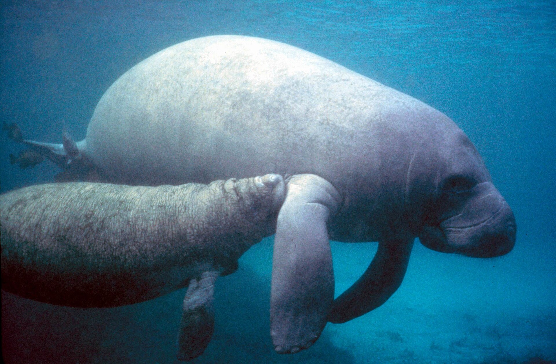
The Indian River shoreline at Rockledge would be entirely private without these parks. The coquina bluff is the city’s defining geographic feature, and access to it is mostly via private residential properties along Rockledge Drive. Public access matters for: the geological resource (the cliffs are a teaching exposure for Florida geology), the wildlife resource (manatees, fish, wading birds visible from the public access points), recreation (fishing, picnicking, simple sitting-by-the-water access), and the civic-identity reasons that make a riverfront town readable as a riverfront town rather than a behind-houses-from-the-river town.
Other public access
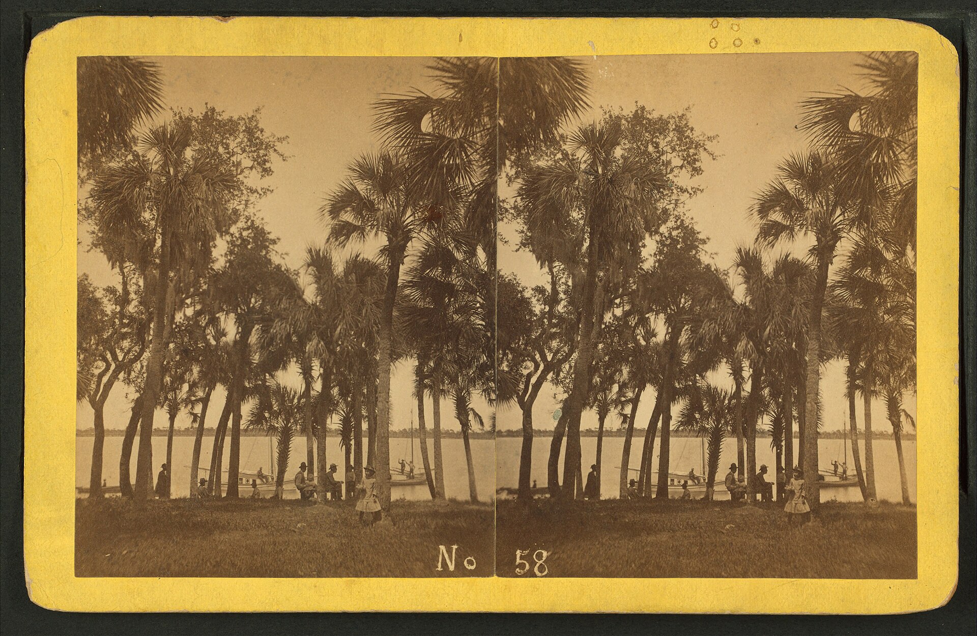
In addition to Wuesthoff Park and Rockledge Park, smaller public rights-of-way reach the river at a few points along Rockledge Drive. Most of these are road-ends that terminate at the cliff edge, with no facilities but with public-access status. They’re useful for fishing access and quick stops.
The city’s Parks and Recreation department maintains the park system. Maintenance budgets are modest, the facilities are functional rather than elaborate, and the parks generally feel like neighborhood amenities rather than regional destinations. Cocoa Riverfront Park (across the boundary in Cocoa, just north) is the larger, more developed regional riverfront destination.
What’s at stake
Sea-level rise and shoreline erosion are gradual threats to the riverfront parks. The unprotected sections of the coquina cliff erode during major storm events (the 2004 hurricanes, more recent events). The park land includes some of the more well-cemented cliff sections that erode more slowly, but no part of the shoreline is permanent on geological timescales.
Decisions about cliff stabilization (rip-rap, retaining walls, beach nourishment) involve trade-offs. Hardened shorelines protect property while altering the natural cliff face that’s part of what makes the parks distinctive. The city’s general approach so far has been to maintain the cliff face in its natural condition where possible and to use stabilization measures sparingly. That approach may or may not be sustainable as sea level and storm intensity change.
How to use the parks
Wuesthoff Park and Rockledge Park are both open daily during daylight hours. Parking is on-street or in small lots. Bring sunscreen and water (especially in summer). The cliff face is fragile in places, so stay on designated paths. Fishing requires a Florida saltwater license for residents and nonresidents over 16, available from FWC.
The best time to visit for wildlife observation is early morning (cooler, more bird activity) or winter mornings after cold fronts (when manatees aggregate close to shore). Sunset over the lagoon is east-aspect, so the dramatic sky colors are behind the viewer rather than over the water; sunrise across the lagoon from the Rockledge side, on the other hand, can be spectacular.
The Anastasia Formation cliff exposure
The coquina bluff at Rockledge is the inland portion of the Anastasia Formation, a Pleistocene-age sedimentary unit that runs along Florida’s east coast from St. Augustine south through Brevard and into Indian River County. The formation is composed of cemented shell hash (predominantly Donax variabilis and other lagoonal bivalves) bound together by calcium carbonate precipitated from groundwater. The cementation varies bed-by-bed, which is why the cliff face shows alternating layers of harder rock and softer sand-shell material visible to the naked eye.
The Florida Geological Survey has mapped Anastasia Formation exposures along the east coast since the early 1900s. Rockledge’s cliff is one of the few public-access exposures inland of the barrier islands; most Anastasia outcrops are on Anastasia Island near St. Augustine or buried beneath modern dunes farther south. The lagoonal facies at Rockledge differs from the higher-energy beach-rock facies at St. Augustine, and the difference is visible in the grain size and the proportion of shell fragments. Geologists who teach Florida sedimentary stratigraphy at UF, USF, and FSU sometimes bring students to Rockledge Park to read the exposure in person.
The formation’s age estimate is Late Pleistocene, roughly 110,000 to 130,000 years before present, corresponding to the last interglacial high-sea-stand (the Sangamonian). At that point, the Indian River Lagoon area sat under shallow saltwater, which is what produced the shell-rich substrate. The cliff face today shows the upper portion of what was then a coastal shoal complex.
Hurricane resilience of the shoreline
The 2004 Atlantic hurricane season tested the Rockledge riverfront’s resilience as it tested every coastal structure on the East Coast of Florida. Hurricane Frances made landfall on September 5, 2004, near Stuart on the Treasure Coast, with sustained winds of about 105 mph at landfall. Hurricane Jeanne made landfall three weeks later on September 26, 2004, almost on the same track, with sustained winds around 120 mph. Both storms reached Brevard County as weakening systems but still produced sustained tropical-storm-force winds, heavy rain, and storm surge in the Indian River Lagoon.
The Rockledge cliff face sustained measurable erosion at several sections during those storms, particularly where the cliff was less well-cemented. The riverfront parks lost some shoreline trees, accumulated debris, and had walkway damage from wave action that overtopped the bluff in places. Reconstruction work over the following years included replacement of fishing pier sections at Wuesthoff Park and minor stabilization at the most erosion-prone cliff sections. The cliff’s intrinsic resilience (well-cemented coquina is harder than most natural shorelines) meant the damage was less than what hit the unprotected barrier-island beach communities to the east. The parks reopened within weeks of each storm.
Further Reading
- Florida’s Fabulous Natural Places by Tim Ohr
- Florida Manatees: Biology, Behavior, and Conservation by John E. Reynolds III
- Florida: A Short History by Michael Gannon
Sources
- City of Rockledge, Parks and Recreation Department, cityofrockledge.org
- City of Rockledge clerk’s records, park dedication and donation files (Rockledge City Hall)
- Brevard County Property Appraiser, parcel histories for Wuesthoff Park and Rockledge Park
- Florida Fish and Wildlife Conservation Commission, fishing license and regulation information, myfwc.com
As an Amazon Associate we earn from qualifying purchases.